The Indian Space Research Organisation (ISRO) is working on a series of improvements to the NavIC, or India’s equivalent of the Global Positioning System (GPS), so that more people are motivated to install it and use it.
|
Out of 7 satellites, 3 are geostationary earth orbit (GEO) satellites and 4 are geosynchronous orbit (GSO) satellites. |
|
Verifying, please be patient.
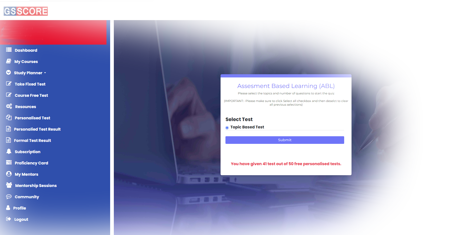
Study planner is an invaluable tool for students, enabling them to assess their strengths and weaknesses through tests. It calculates the optimal daily study time required to cover the syllabus. This personalized approach enhances productivity and fosters effective time management, ultimately boosting academic performance.
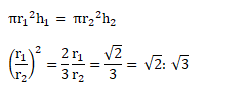
A personalized test allows students to select their preferred topic and subtopic from the curriculum. It generates a tailored examination by randomly selecting questions related to their choices. This approach promotes engagement, reinforces specific learning objectives, and fosters a deeper understanding of the material through active participation in the assessment process.
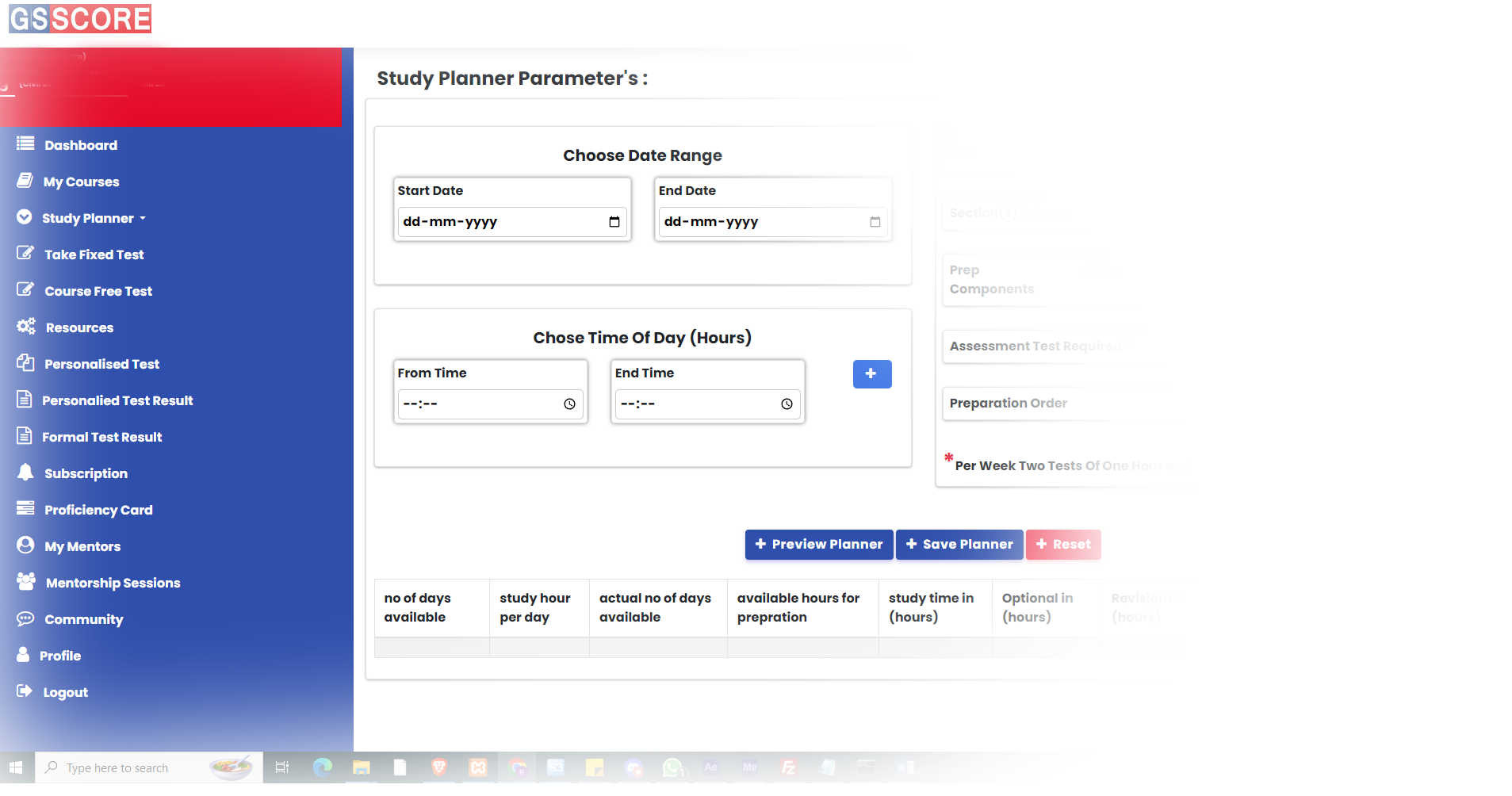
The analytics system tracks the time spent and records correct answers for all questions attempted. It compiles this data into analyses, offering students valuable insights into their preparation, identifying strengths and weaknesses, and helping them optimize their study strategies for improved performance.